Country Course for Vanuatu : SIAP and ESCAP delivered a technical training on Machine Learning and GIS for Land Cover Estimation in Port-Vila
15 - 26 April 2024
Christophe Bontemps, Statistician/Lecturer
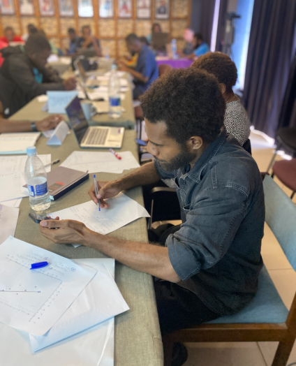
SIAP and ESCAP delivered a technical training on Machine Learning and GIS for Land Cover Estimation in Port-Vila (Vanuatu) from 15 to 26 April 2024. 40 participants from the Vanuatu Bureau of Statistics as well as from other ministries (Department of Forestry, National Disaster Management Organization, and the Department of Urban Affairs) engaged in this 2 weeks training with great attention and motivation. The technical training equipped the participants with a basic understanding of Data Science, Data visualization, Machine Learning, and foundations of GIS, including how these components fit together into a workflow for land account compilation. Exercises helped to actively engage with each participant individually and see the progress that was achieved during the course. Several handouts and a case study showcasing a land cover map estimated from simulated points and satellite images from the Port-Vila area highlighted the applicability of the method and the steps to achieve such a result.
A follow-up visit is planned which will provide further capacity building support focused on the use of GIS and the production of land accounts.
This training was funded by “The 2030 Data Decade - Strengthening the institutional capacity of national statistical offices in Asia and the Pacific to use innovative, new and big data sources for official statistics in support of the 2030 Agenda for Sustainable Development.”